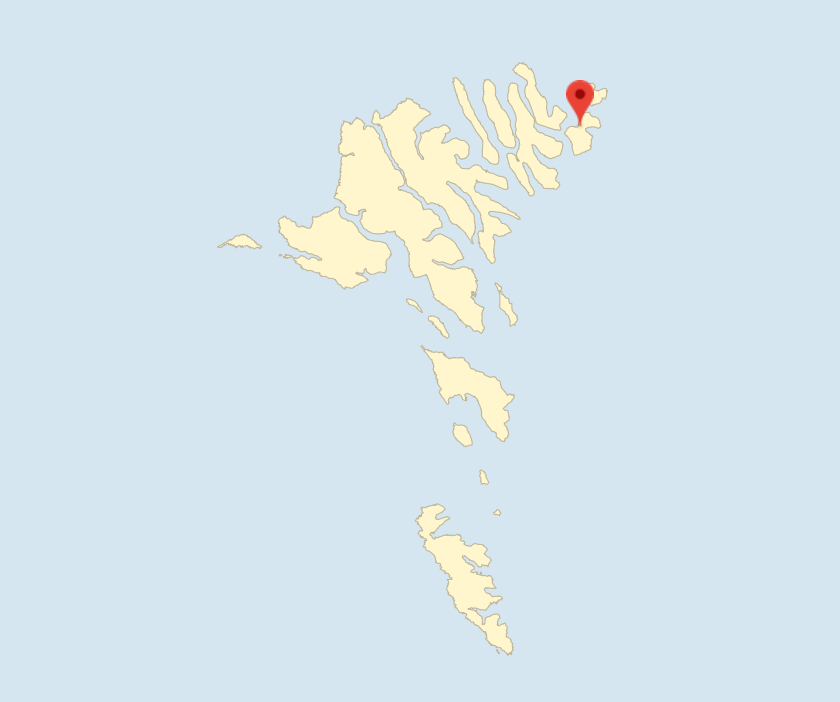
Svínoy covers an area of 27.35 km² and is thus more than twice the size of Fugloy. The highest point on the island is Havnatindur, which is 586 m high. To the north, Svínoy is separated from Fugloy by Fugloyarfjørður, while to the west, the island is separated from Borðoy and Viðoy by Svínoyarfjørður.
The island’s only village, Svínoy, is mentioned as early as in Færeyingasaga from 1220. The village is located immediately north of the centre of the island facing Svínoyarvík to the east where there is a landing site. There is also a landing site with a small quay on the western side of the island. As on Fugloy, landing conditions can be difficult, especially in winter when the weather is bad.
In 2020, a previously decommissioned facility for salmon smolt farming was converted to farming lumpsucker, which is used in the salmon farms.
There is a ferry service to Svínoy from Hvannasund on Viðoy and to both villages on Fugloy. The island is also covered by a helicopter service.
Svínoy, which used to be its own municipality, was merged with Klaksvíkar Kommuna in 2009. In 1966, the population was 117, while it was 31 in 2020.
Svínoy settlement
The village of Svínoy has 31 inhabitants and covers 32 merkur and 4 gyllin. The copyhold land covers 14 merkur and 8 gyllin, and the freehold land covers 17 merkur and 12 gyllin. The copyhold land is divided between five copyhold tenants. The sheep herd consists of 997 animals.
Svínoy has had a church since 1592, maybe even earlier. The current church was built in 1878. The village had its first school building in 1880, but as of 2021 it had no pupils.
Further reading
- Tórshavn – Town
- Klaksvík – Town
- Borðoy – Island
- Eysturoy – Island
- Fugloy – Island
- Kalsoy – Island
- Kunoy – Island
- Sandoy – Island
- Streymoy – Island
- Suðuroy – Island
- Skúvoy – Island
- Viðoy – Island
- Vágar – Island
Read more about The islands, towns and settlements