
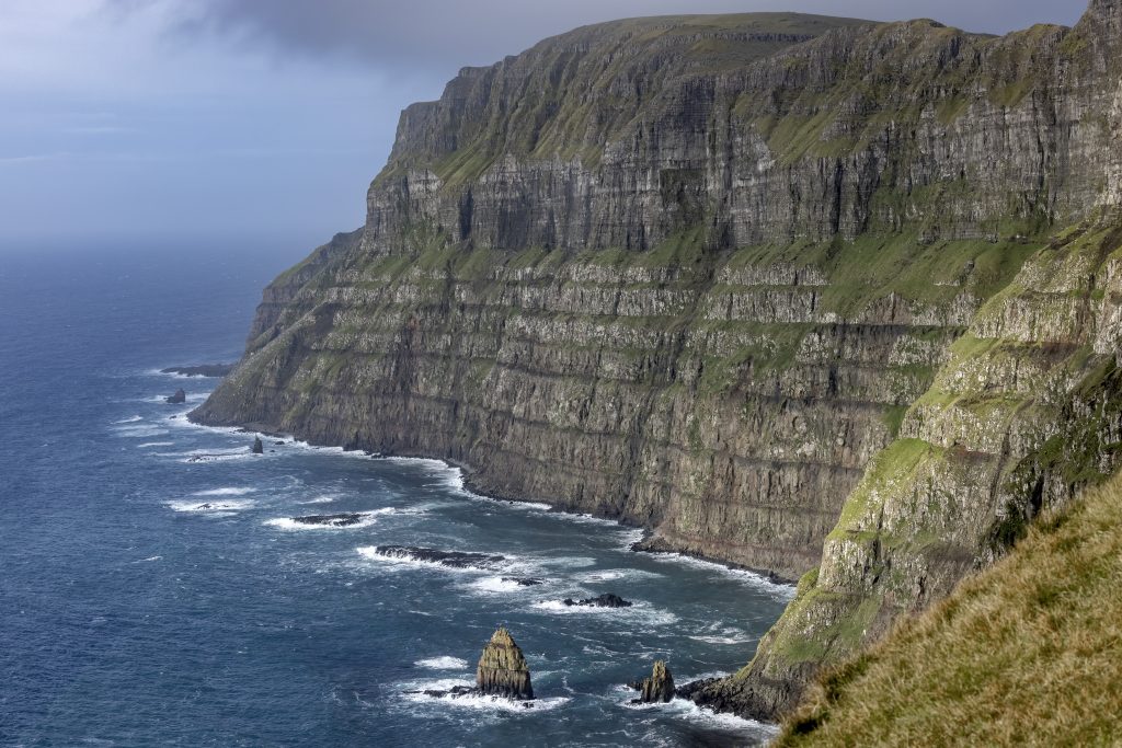
Suðuroy is 164.9 km² and the southernmost island of the Faroe Islands; it is 32 km long and 13 km at its widest point. The highest mountain on the island is Gluggarnir at 610 m. The coastal formations are irregular, and the west coast in particular is inaccessible with cliffs of considerable height. Beinisvørð at Sumba is 469 m. Apart from Fámjin and Sumba, which are on the west side, the other villages are on the east side by fjords and bays. There are several large and small islets around Suðuroy. Geologically, the island is interesting because of the deposits of available coal and several visible geological phenomena. All the villages on Suðuroy are today connected by roads and tunnels, and there is a regular car ferry connection between Tvøroyri and Tórshavn.
Suðuroy forms one district, Suðuroyar, and there are seven municipalities: Hvalbiar, Tvøroyrar, Fámjins, Hovs, Porkeris, Vágs and Sumbiar Kommuna. A special dialect is spoken, which varies between villages.
The ‘turkish’ pirates
In the 17th century, the Faroe Islands were heavily plagued by recurring pirate attacks and Suðuroy was particularly vulnerable. Some of the pirates came from North Africa and, because the area was part of the Ottoman Empire, they were popularly called Turks.
In 1629, Hvalba was subjected to a particularly violent attack, in which six were killed and more than 30 people were abducted. Most of them were women and children, and they never returned. A strong storm caused one of the pirates’ ships to sink in Hvalbiarfjørður, and a large part of the crew drowned. The place where they were buried is therefore called Turkagravir.
The inhabitants of Suðuroy are also attributed with a particularly strong temperament, and this is believed to be due to the fact that the ‘Turkish’ pirates left behind other traces than just death and destruction.
The coal mines in Prestfjall
Already in the 17th century, Danish authorities tried to start the extraction of coal in the northern part of Suðuroy. The result was not great, but locally the coal became important as fuel in Hvalba.
During both World War I and World War II, when coal was in short supply, the exploitation of the deposits in Hvalba and Trongisvágur intensified. A small cargo ship now supplied all of the Faroe Islands, and this was one of the reasons why many places stopped using peat as fuel. Coal production reached its peak in 1958, when 12,000‑14,000 tonnes of coal were mined. Over 100 men worked in the coal mines, which were then the village’s largest employer.
Further reading
Read more about The islands, towns and settlements