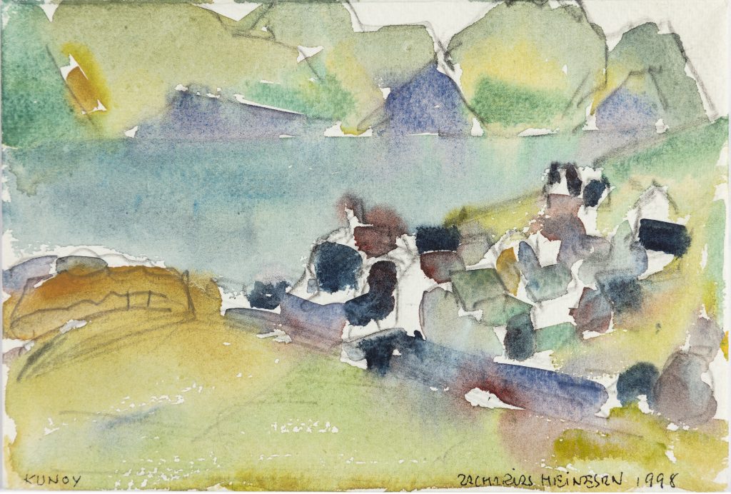
With an area of 35.46 km², Kunoy is the third largest island in Norðoyggjar and has three markatal settlements, Kunoy, Skarð and Haraldssund. Kunoy, which has been an independent municipality since 1931, has a total population of around 145. This number has remained largely the same since 1966.
Kunoy is on average the highest island in the Faroe Islands, where the highest mountain, Kúvingafjall, at 830 m is the fourth highest in the Faroe Islands. Of the ten mountains that exceed 800 m, seven can be found on Kunoy. The island’s landscape is characterised by deep cirque valleys, which, especially on the eastern side, cut into the continuous mountain ridge.
There is a tunnel connection between Kunoy and Haraldssund and an embankment from Haraldssund to Borðoy.
Further reading
Read more about The islands, towns and settlements