Lítla Dímun (Island)
Lítla Dímun is an uninhabited island of 0.82 km², which is estimated at 1 mørk and 8 gyllin. The island was formerly leasehold land, which in 1850 was sold at...
Koltur (Island)
The 2.3-km² island of Koltur covers 17 merkur of copyhold land and has no permanent residents. The sheep herd consists of 160 animals. Since 2015, Koltur has been...
Hestur (Island)
The island of Hestur, with an area of 5.9 km², has 15 inhabitants at the start of 2025 and covers 18 merkur. 7 merkur are copyhold land, divided between two copyhold...
Sunda Municipality
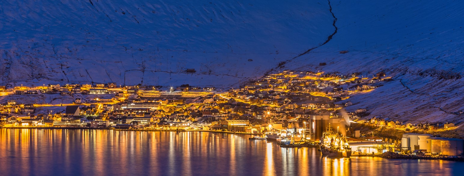
The markatal settlements of Norðskáli and Oyri and the outlying village of Oyrarbakki on the other side of the sound formerly constituted Sunda Kommuna. The bridge...
Skáli (Settlement)
Skáli, mentioned in Hundabrævið, has 855 inhabitants in january 2025 and covers 40 merkur divided into 27 merkur and 15 gyllin of freehold land and 12 merkur...
Skálafjørður (Settlement)
The outlying village of Skálafjørður or Skálabotnur, located at the bottom of the fjord Skálafjørður, was first mentioned in 1630. Here the river Fjarðará...
Oyri (Settlement)
Oyri has 181 inhabitants in january 2025 and has 12 merkur of copyhold land, which are divided between three copyhold tenants. The sheep herd consists of 442 animals....
Oyrarbakki (Settlement)
The outlying village of Oyrarbakki was established in 1924 and now has 157 inhabitants in january 2025. Júst í Túni started the first salmon and trout farm in...
Norðskáli (Settlement)
Norðskáli has 312 inhabitants in january 2025 and covers 4 merkur, of which 8 gyllin are copyhold land, which is held by a single copyhold tenant, and 3 merkur...
Eysturoy (Island)
The southern part With an area of 286.9 km², Eysturoy is the second largest island in the Faroe Islands. The island is connected to Streymoy by the bridge crossing...